Google Earth Is More Interactive Than Ever with Voyager
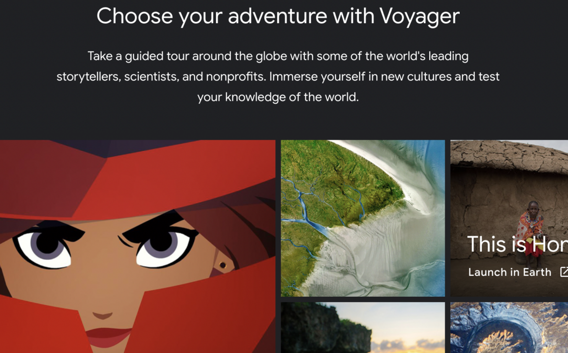
Everything is somewhere, and everyone is from someplace. Place impacts everything, from how we live, speak, eat, believe, and make a living. Investigating places using Geo Tools doesn’t get any better than Google Earth.
Google’s Geo Tools aren’t just about geography or social studies, for that matter. You can use them to trace the Lewis and Clark Expedition, explore Italy’s architecture, measure how sea levels are rising, calculate the angles of the Louvre in Paris, or analyze the expedition of wildlife of the Galapagos Islands. Our students can use these Geo Tools to see locations that inspired stories like Macbeth or actually look inside the Globe Theatre in London. Young students learning the alphabet can pick out both physical and human features in the shape of letters, for example.
By now, we’ve probably all had some experience using Google Earth, whether that is to finally be able to see the Eiffel Tower up close or just look up your house. But did you know that a Google Earth Education site called Voyager can help bring relevance to any classroom? You can also create your own map tours.
What is Voyager?
Voyager is a program that has interactive tours. These tours can be used for inquiry-based learning and storytelling across all contents. After you open Google Earth, start exploring by selecting the icon that looks like the helm of a ship in the menu bar.
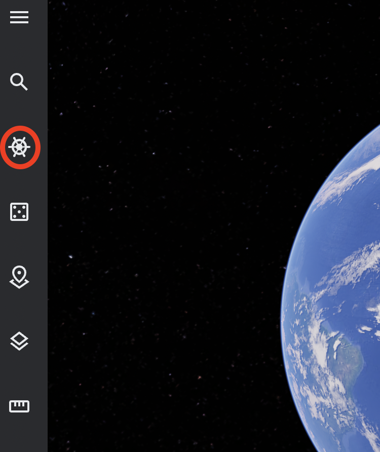
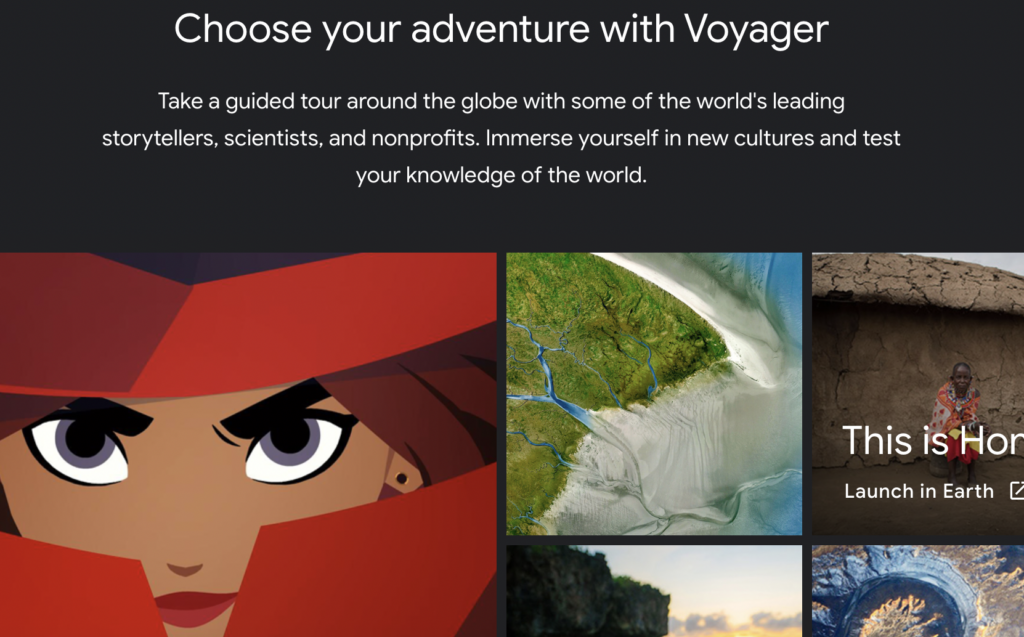
You’ll see many beautifully curated and interactive guided tours. So much has already been created that you’ll want to search to see if what you are looking for already exists before you start creating content yourself! You can do this by selecting the magnifying glass (search icon) in the menu bar.
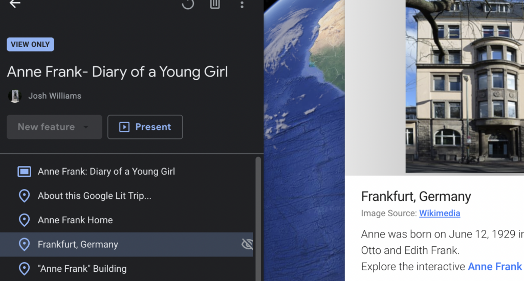
Take a look at a sample Voyager. GLT Global ED mapped the locations surrounding the events documented in Anne Frank’s diary . You can certainly get inspired by seeing what Google Earth Voyager already has in its library on various topics.

Creating Your Own Projects
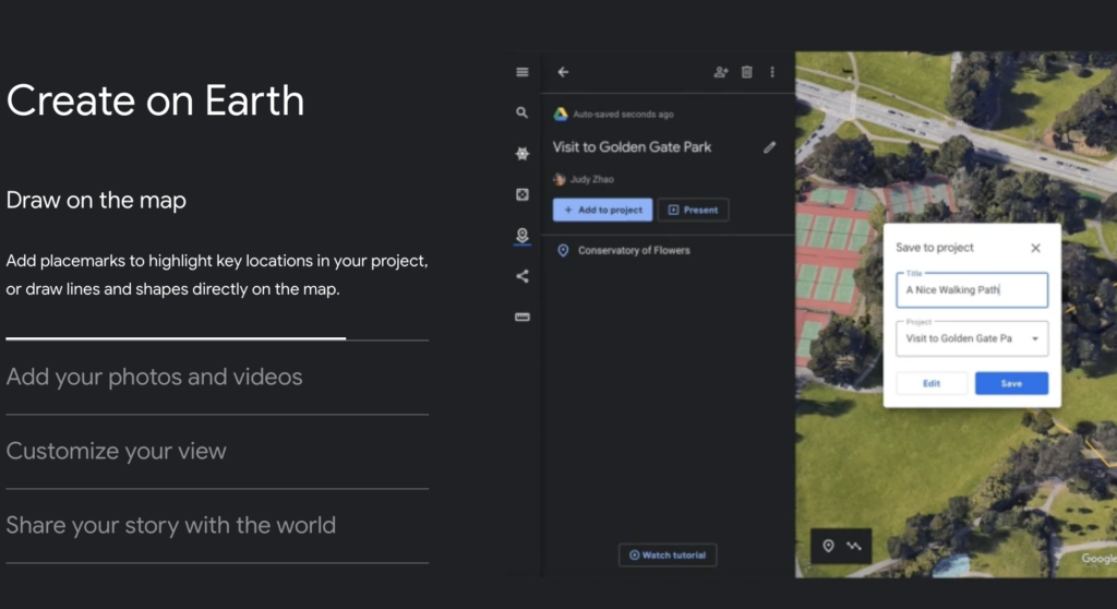
Can’t find what you are looking for? No problem. You can create your own “project.” Here are examples of what you can do in “Projects” within Google Earth:
- You can draw on the map.
- Add your own photos and videos.
- Customize your view.
- Share your story with the world.
- Use the measurement tool.
Need more information?
Take a look at this Beginner Tutorial on adding features.
If you’re wanting to go deeper, explore the Advanced Google Earth Tutorial, which has even more features.

Leslee Barnes, M.Ed.
Leslee Barnes is the Social Studies Specialist K-12 for Aledo ISD. She graduated with a BA from Wayland Baptist University in Plainview, Texas in 2003 and earned her M.Ed. in Curriculum and Instruction from the University of North Texas in Denton in 2008. Leslee has taught US History, World History, World Geography, AP US History, and Student Leadership. She has taken high school students on European study tours in the British Isles, France, Italy, and Greece. She also has a passion for studying global current events. At present, Leslee works at aligning the social studies curriculum in her district and supporting the professional learning communities at the high school level in Aledo ISD.
Today Is the 11th Annual Digital Learning Day
Tcea22 extended series: an interview with ken shelton, you may also like, instrument playground: making music is google to my..., streamline workflow with google forms, five free crossword puzzle makers, 2023 google resource roundup, seven google updates from december 2023, 13 firefox extensions and sites you may not..., an intro to pear deck’s flashcard factory, examples for teaching with fake news and pseudoscience, the four reading comprehension strategies of collaborative strategic reading..., use figjam for fun and engaging activities in....
This is an amazing app.
Leave a Comment Cancel Reply
Save my name, email, and website in this browser for the next time I comment.
You've Made It This Far
Like what you're reading? Sign up to stay connected with us.
*By downloading, you are subscribing to our email list which includes our daily blog straight to your inbox and marketing emails. It can take up to 7 days for you to be added. You can change your preferences at any time.
You have Successfully Subscribed!
By subscribing, you will receive our daily blog, newsletter, and marketing emails.
- Share full article
Advertisement
Supported by
Google Earth’s New Voyager Tool Aims to Feed Our Wanderlust

By Matt Stevens
- April 21, 2017
Google has launched a cool new internet thing. And be warned: Your productivity may be about to take a tumble.
Assuming you don’t mind descending down a rabbit hole, you may want to check out Voyager — a “showcase of interactive tours” meant to enhance the latest version of Google Earth.
Voyager, which was introduced Tuesday, allows Earth’s bored employees to feed their wanderlust and pretend they are somewhere — anywhere — other than the office cubicle they are actually sitting in.
Say you’ve never been to Paris. Voyager pairs the view provided by its maps with a still image and a so-called knowledge card to let users hop around the city as though they were on a packed three-day vacation. Similar tours of “Hemingway’s Hangouts,” Frank Gehry buildings and museums around the world are also available.

Want a less urban experience? Jane Goodall will take you on a tour of a Tanzanian park and tell you about her team’s chimpanzee research.
You can even explore Afghanistan with Zari, a 6-year-old Muppet character who hails from the country. Zari loves to read and study — a fortunate trait because, as a knowledge card tells us, “Afghanistan is home to one of the largest populations of young people in the world, but their education system is struggling.”

In a telephone interview on Thursday, Rebecca Moore, director of Google Earth, called stories and storytelling the “linchpin” of the new Google Earth and said Voyager would allow more people to tell such stories in more timely and compelling ways.
“What you’re never going to find in Voyager is, ‘Here’s a tour of homes of celebrities,’” Ms. Moore said. “What we want to do is inspire people to explore the world through this interactive educational experience. We see it as a way to bridge cultures.”
For more than a decade, Google Earth has allowed users to see the places they plan to visit before they actually do — or to revisit places they once knew.
But as Google Earth became more ubiquitous, people found other ways to leverage it. Virtual flights over land and sea with Google Earth, it turned out, were an excellent way to learn about places, Ms. Moore said.
“In an ad hoc, kind of grass-roots manner, people were using it to tell stories,” she said. “What we realized is we wanted to take it to the next level.”
The latest update took two years to create, Gopal Shah, a Google Earth project manager, said in a blog post. Ms. Moore called it “our gift to the world,” noting that the tool is “not commercialized” in any way.
Melissa Parrish, a research director at Forrester, a technology and marketing research firm, said that Google sometimes does create projects “just because they can.” But she said a company does not become as successful as the tech giant “without thinking about the monetization possibilities of everything they do.”
Google may choose not to place ads directly on Google Earth or Voyager, Ms. Parrish said, but she added that every time a user clicks around the world, Google could presumably gather data it can use to target consumers elsewhere on the web.
“They’re Google,” Ms. Parrish said. “If there’s one thing they’re incredible at, it’s making money.”
Voyager is among a number of new features within the revamped Google Earth. There are dozens of virtual trips currently available — including one through New York City — and Ms. Moore promised more to come.
In the latest version of Google Earth, a “I’m Feeling Lucky” button also emerges, allowing users to stumble upon random locations with a single click. (Kings Island amusement park in Mason, Ohio, anyone?)

A new 3D button lets you see “any place from any angle” and share a “postcard” of the view, Mr. Shah said in the blog post.
Eventually, Ms. Moore said, Google plans to create a set of easy-to-use storytelling tools that will allow anyone to create tours similar to those in Voyager.
“This is a time when the world is getting factionalized,” she said. “And we need things to bring us together. We see Google Earth as making the world a smaller place — in a good way.”
And you thought finding your old house was fun.
Google Earth
Welcome home to the new Google Earth
Apr 18, 2017
[[read-time]] min read

Nearly everyone who's opened Google Earth in the last decade does the same thing first: they search for their home. Home is how we orient ourselves—it's where we start from. This might mean a one-story craftsman in a Wisconsin suburb . Or a house made of reeds on a floating village in Peru.
Then we zoom out. We see our neighborhood, then our city, our province, our country, our continent, and eventually: our blue marble. Out in space, our planet looks impossibly small. But improbably, it’s home to all of us. On the eve of Earth Day, I'm reminded of something I've learned watching people use Google Earth over the years: Home is not just how we understand our place in the world—it’s a means to connect to something bigger than ourselves.

Explore the new Google Earth
Today we’re introducing a brand-new version of Google Earth —on the web and Android—two years in the making. With the new Earth, we want to open up different lenses for you to see the world and learn a bit about how it all fits together; to open your mind with new stories while giving you a new perspective on the locations and experiences you cherish. It’s everything you love about Google Earth, plus new ways for you to explore, learn and share. Zoom in and see what adventures await you in the new Google Earth.
Broaden your horizons with Voyager

Start with Natural Treasures from BBC Earth, and journey to six habitats—from islands to mountains to jungles—and learn about the unique and thrilling wildlife in each. Then head to Gombe National Park in Tanzania and hear from Jane Goodall about her team’s chimpanzee research and conservation efforts. And make a stop in Mexico with Lola, one of 12 little monsters featured in Sesame Street's Girl Muppets Around the World , and learn about modern Mayan cultures. With more than 50 immersive stories in Voyager, and more added weekly, there are lots of adventures to choose from.
Explore and learn about anywhere

Once you’ve landed on a point of interest, open a Knowledge Card to learn history and facts about that place and see more pictures of it. To add a dash of serendipity to your travels, flip through the stack of cards and discover related places. You might find yourself in Valencia, Spain and stumble on the beautiful Ciudad de las Artes y Las Ciencias .
Share the beauty you find

When you find a view that leaves you breathless or inspires a fond memory, share a Postcard of your exact view with your friends and family. They can click the link to jump right to where you were (virtually) standing.
Bringing it all back home

Get the new Google Earth now on the web in Chrome ; on Android as it rolls out this week; and on iOS and other browsers in the near future. (Of course, you can still access and download Google Earth 7 for desktop.) Hold it in your hand, pass it around a classroom, fly around the world and walk inside places thousands of miles away in incredible detail. Feel free to lose yourself a little—with Google Earth you can always find your way back home.
Related stories
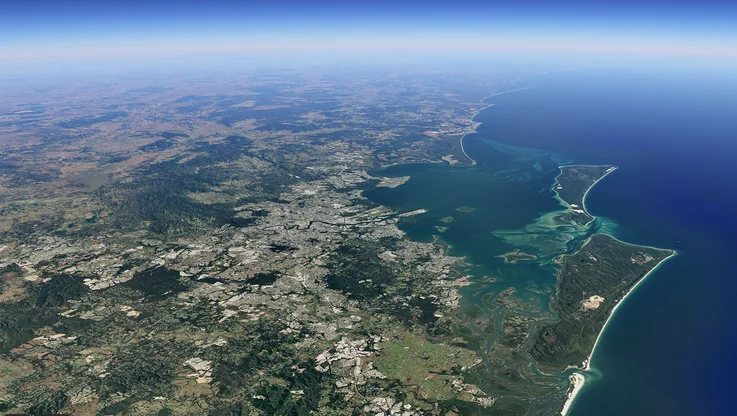
See the planet change with new imagery in Google Earth Timelapse
13 surprising ways we've collected Street View imagery around the world
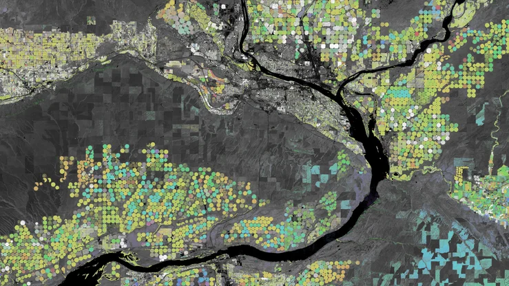
Introducing Earth Engine for governments and businesses
Land cover data just got real-time.

Helping farmers with cloud technology, up close and global
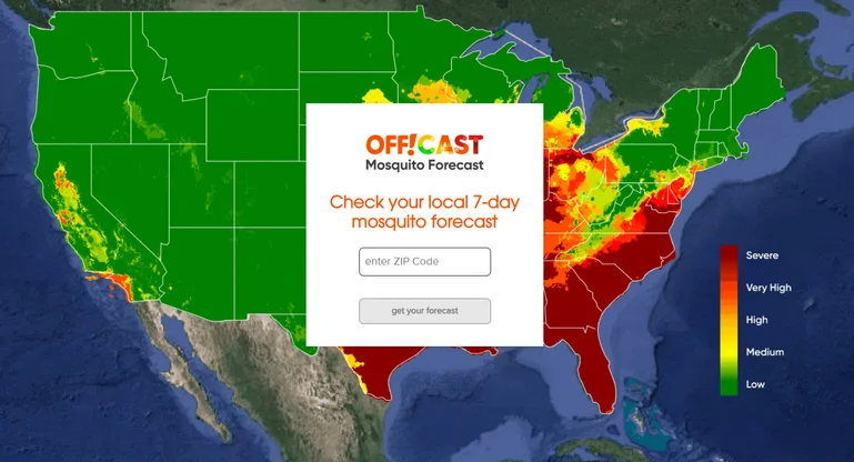

Mosquitos get the swat with new forecasting technology
Let’s stay in touch. Get the latest news from Google in your inbox.

- The Contents
- The Making of
- Where Are They Now
- Frequently Asked Questions
- Q & A with Ed Stone
golden record
Where are they now.
- frequently asked questions
- Q&A with Ed Stone
Mission Status
Instrument status.
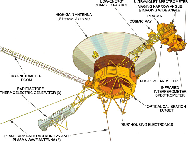
Where are the Voyagers now?
To learn more about Voyager, zoom in and give the spacecraft a spin. View the full interactive experience at Eyes on the Solar System . Credit: NASA/JPL-Caltech
View Voyager
Space Flight Operations Schedule (SFOS)
SFOS files showing Voyager activity on Deep Space Network (DSN)
2024 Tracking Schedule
2023 tracking schedule, 2022 tracking schedule, 2021 tracking schedule, 2020 tracking schedule, 2019 tracking schedule, 2018 tracking schedule, 2017 tracking schedule, 2016 tracking schedule, 2015 tracking schedule, 2014 tracking schedule, 2013 tracking schedule, 2012 tracking schedule, 2011 tracking schedule, 2010 tracking schedule, 2009 tracking schedule, 2008 tracking schedule, 2007 tracking schedule, 2006 tracking schedule, 2005 tracking schedule, 2004 tracking schedule, 2003 tracking schedule, 2002 tracking schedule, 2001 tracking schedule, 2000 tracking schedule, 1999 tracking schedule, 1998 tracking schedule, 1997 tracking schedule, 1996 tracking schedule, 1995 tracking schedule, 1994 tracking schedule.

The most distant human-made object
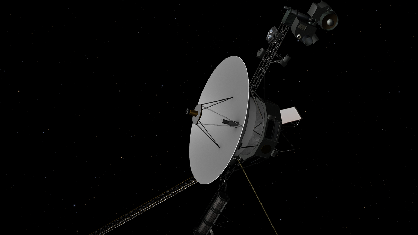
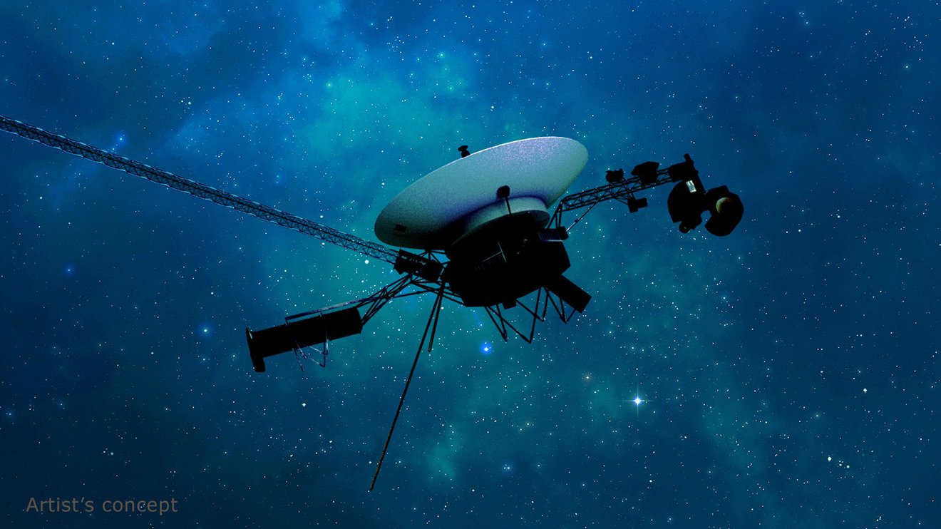
No spacecraft has gone farther than NASA's Voyager 1. Launched in 1977 to fly by Jupiter and Saturn, Voyager 1 crossed into interstellar space in August 2012 and continues to collect data.
Mission Type
What is Voyager 1?
Voyager 1 has been exploring our solar system for more than 45 years. The probe is now in interstellar space, the region outside the heliopause, or the bubble of energetic particles and magnetic fields from the Sun.
- Voyager 1 was the first spacecraft to cross the heliosphere, the boundary where the influences outside our solar system are stronger than those from our Sun.
- Voyager 1 is the first human-made object to venture into interstellar space.
- Voyager 1 discovered a thin ring around Jupiter and two new Jovian moons: Thebe and Metis.
- At Saturn, Voyager 1 found five new moons and a new ring called the G-ring.
In Depth: Voyager 1
Voyager 1 was launched after Voyager 2, but because of a faster route, it exited the asteroid belt earlier than its twin, having overtaken Voyager 2 on Dec. 15, 1977.
Voyager 1 at Jupiter
Voyager 1 began its Jovian imaging mission in April 1978 at a range of 165 million miles (265 million km) from the planet. Images sent back by January the following year indicated that Jupiter’s atmosphere was more turbulent than during the Pioneer flybys in 1973–1974.
Beginning on January 30, Voyager 1 took a picture every 96 seconds for a span of 100 hours to generate a color timelapse movie to depict 10 rotations of Jupiter. On Feb. 10, 1979, the spacecraft crossed into the Jovian moon system and by early March, it had already discovered a thin (less than 30 kilometers thick) ring circling Jupiter.
Voyager 1’s closest encounter with Jupiter was at 12:05 UT on March 5, 1979 at a range of about 174,000 miles (280,000 km). It encountered several of Jupiter’s Moons, including Amalthea, Io, Europa, Ganymede, and Callisto, returning spectacular photos of their terrain, opening up completely new worlds for planetary scientists.
The most interesting find was on Io, where images showed a bizarre yellow, orange, and brown world with at least eight active volcanoes spewing material into space, making it one of the most (if not the most) geologically active planetary body in the solar system. The presence of active volcanoes suggested that the sulfur and oxygen in Jovian space may be a result of the volcanic plumes from Io which are rich in sulfur dioxide. The spacecraft also discovered two new moons, Thebe and Metis.
Voyager 1 at Saturn
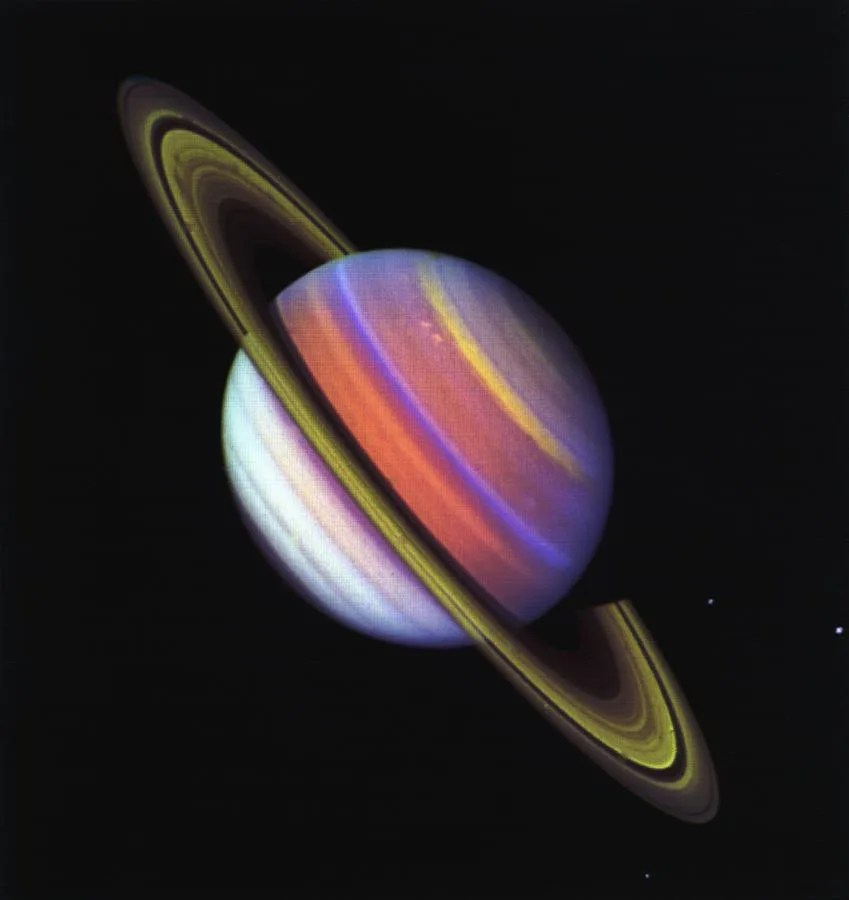
Following the Jupiter encounter, Voyager 1 completed an initial course correction on April 9, 1979 in preparation for its meeting with Saturn. A second correction on Oct. 10, 1979 ensured that the spacecraft would not hit Saturn’s moon Titan.
Its flyby of the Saturn system in November 1979 was as spectacular as its previous encounter. Voyager 1 found five new moons, a ring system consisting of thousands of bands, wedge-shaped transient clouds of tiny particles in the B ring that scientists called “spokes,” a new ring (the “G-ring”), and “shepherding” satellites on either side of the F-ring—satellites that keep the rings well-defined.
During its flyby, the spacecraft photographed Saturn’s moons Titan, Mimas, Enceladus, Tethys, Dione, and Rhea. Based on incoming data, all the moons appeared to be composed largely of water ice. Perhaps the most interesting target was Titan, which Voyager 1 passed at 05:41 UT on November 12 at a range of 2,500 miles (4,000 km). Images showed a thick atmosphere that completely hid the surface. The spacecraft found that the moon’s atmosphere was composed of 90% nitrogen. Pressure ad temperature at the surface was 1.6 atmospheres and 356 °F (–180°C), respectively.
Atmospheric data suggested that Titan might be the first body in the solar system (apart from Earth) where liquid might exist on the surface. In addition, the presence of nitrogen, methane, and more complex hydrocarbons indicated that prebiotic chemical reactions might be possible on Titan.
Voyager 1’s closest approach to Saturn was at 23:46 UT on 12 Nov. 12, 1980 at a range of 78,000 miles(126,000 km).
Voyager 1’s ‘Family Portrait’ Image
Following the encounter with Saturn, Voyager 1 headed on a trajectory escaping the solar system at a speed of about 3.5 AU per year, 35° out of the ecliptic plane to the north, in the general direction of the Sun’s motion relative to nearby stars. Because of the specific requirements for the Titan flyby, the spacecraft was not directed to Uranus and Neptune.
The final images taken by the Voyagers comprised a mosaic of 64 images taken by Voyager 1 on Feb. 14, 1990 at a distance of 40 AU of the Sun and all the planets of the solar system (although Mercury and Mars did not appear, the former because it was too close to the Sun and the latter because Mars was on the same side of the Sun as Voyager 1 so only its dark side faced the cameras).
This was the so-called “pale blue dot” image made famous by Cornell University professor and Voyager science team member Carl Sagan (1934-1996). These were the last of a total of 67,000 images taken by the two spacecraft.
Voyager 1’s Interstellar Mission
All the planetary encounters finally over in 1989, the missions of Voyager 1 and 2 were declared part of the Voyager Interstellar Mission (VIM), which officially began on Jan. 1, 1990.
The goal was to extend NASA’s exploration of the solar system beyond the neighborhood of the outer planets to the outer limits of the Sun’s sphere of influence, and “possibly beyond.” Specific goals include collecting data on the transition between the heliosphere, the region of space dominated by the Sun’s magnetic field and solar field, and the interstellar medium.
On Feb. 17, 1998, Voyager 1 became the most distant human-made object in existence when, at a distance of 69.4 AU from the Sun when it “overtook” Pioneer 10.
On Dec. 16, 2004, Voyager scientists announced that Voyager 1 had reported high values for the intensity for the magnetic field at a distance of 94 AU, indicating that it had reached the termination shock and had now entered the heliosheath.
The spacecraft finally exited the heliosphere and began measuring the interstellar environment on Aug. 25, 2012, the first spacecraft to do so.
On Sept. 5, 2017, NASA marked the 40th anniversary of its launch, as it continues to communicate with NASA’s Deep Space Network and send data back from four still-functioning instruments—the cosmic ray telescope, the low-energy charged particles experiment, the magnetometer, and the plasma waves experiment.
The Golden Record
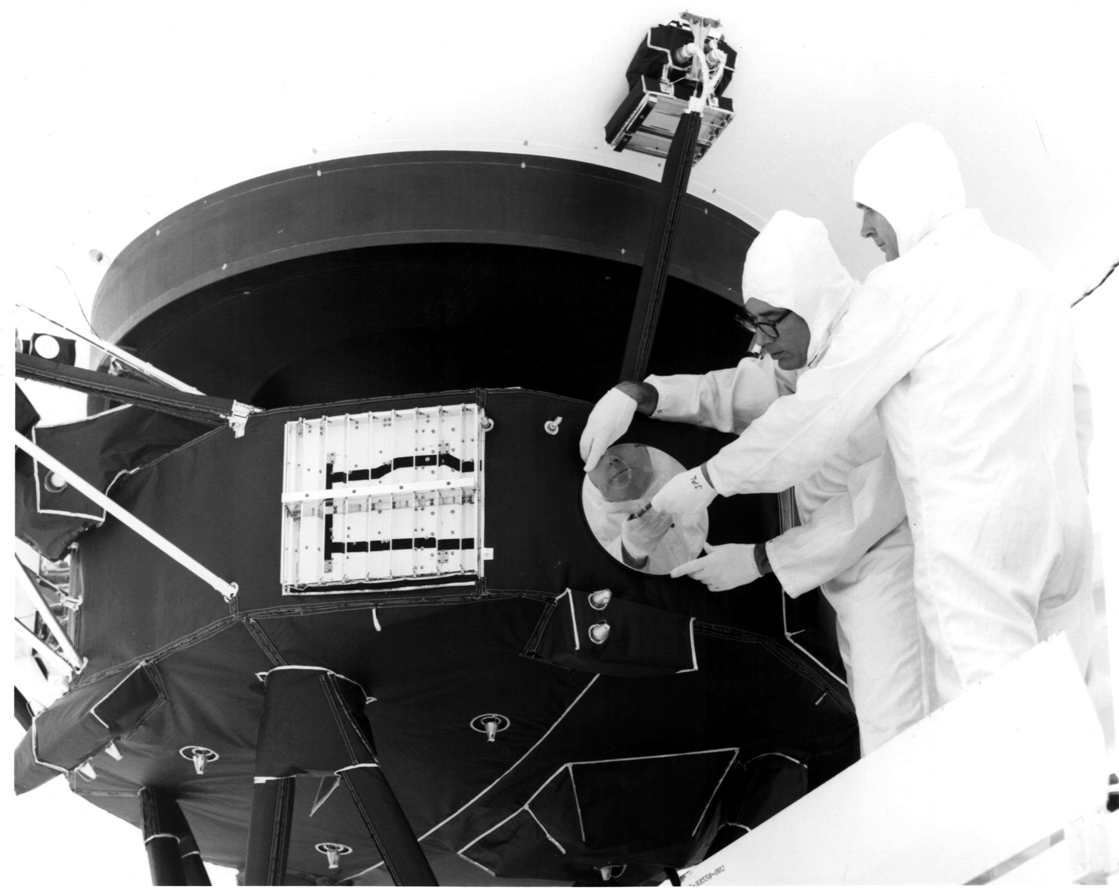
Each of the Voyagers contain a “message,” prepared by a team headed by Carl Sagan, in the form of a 12-inch (30 cm) diameter gold-plated copper disc for potential extraterrestrials who might find the spacecraft. Like the plaques on Pioneers 10 and 11, the record has inscribed symbols to show the location of Earth relative to several pulsars.
The records also contain instructions to play them using a cartridge and a needle, much like a vinyl record player. The audio on the disc includes greetings in 55 languages, 35 sounds from life on Earth (such as whale songs, laughter, etc.), 90 minutes of generally Western music including everything from Mozart and Bach to Chuck Berry and Blind Willie Johnson. It also includes 115 images of life on Earth and recorded greetings from then U.S. President Jimmy Carter (1924– ) and then-UN Secretary-General Kurt Waldheim (1918–2007).
By January 2024, Voyager 1 was about 136 AU (15 billion miles, or 20 billion kilometers) from Earth, the farthest object created by humans, and moving at a velocity of about 38,000 mph (17.0 kilometers/second) relative to the Sun.
National Space Science Data Center: Voyager 1
A library of technical details and historic perspective.
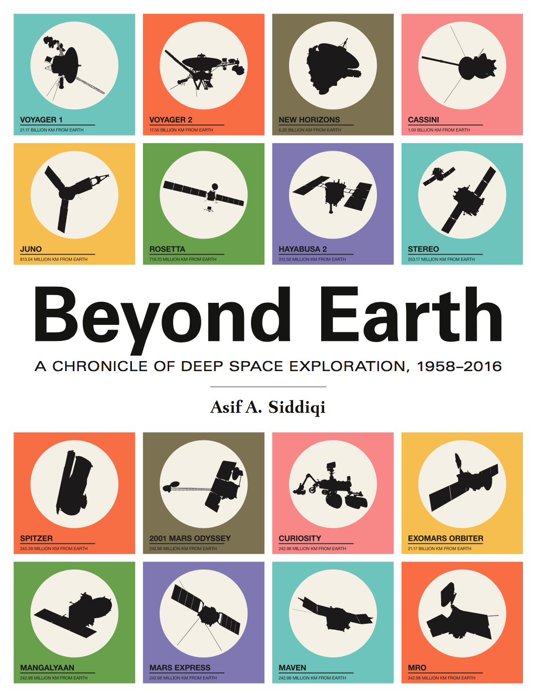
Beyond Earth: A Chronicle of Deep Space Exploration
A comprehensive history of missions sent to explore beyond Earth.
Discover More Topics From NASA
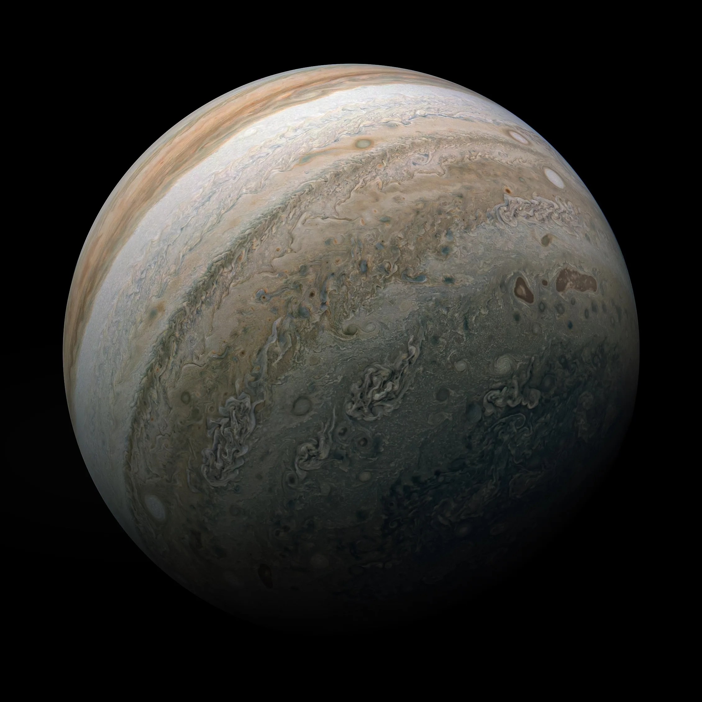
Our Solar System
Destinations populaires
We’ve added imagery from 2021-2022 to Timelapse. Head to Google Earth to explore more
- Help Center
- Google Earth
- Privacy Policy
- Terms of Service
- Submit feedback
Flight search
- Adults Remove adult 1 Add adult
- Children Aged 2-11 Aged 2 to 11 Remove child 0 Add child
- Infants In seat Remove infant in seat 0 Add infant in seat
- Infants On lap Remove infant on lap 0 Add infant on lap
- Premium economy
Popular destinations

IMAGES
VIDEO
COMMENTS
Make use of Google Earth's detailed globe by tilting the map to save a perfect 3D view or diving into Street View for a 360 experience. ... Choose your adventure with Voyager
In this tutorial you will learn what Google Earth voyager is, where to find it, and how to use it (especially in terms of an educational setting).
Creating Stories in Earth. Google Earth's creation tools allow you to create your own projects. Add points, text, and rich multimedia content to share stories and maps visualized on a 3D globe ...
The real star of the new Google Earth is Voyager, which the company calls "a showcase of interactive guided tours." To kick things off, Google has teamed with NASA, the Jane Goodall Institute, the ...
On your iPhone or iPad, open the Google Earth app . At the top, tap Voyager . Choose a category. Tap a story to find a list of related places across the globe. At the top, find a 3D view of the location. On the bottom, find pictures or videos of the location. From here, you can: Make the pictures bigger: Tap the Up arrow .
- Voyages are the new "Tours" of Google Earth- Interactive learning experiences for students - Voyages include Youtube Videos, weblinks, and helpful informat...
Google Voyager. Here are some ideas about how teachers can use Google Earth's Voyager in the classroom, as specific tours could be incorporated into school subjects. The links go directly to the Google Earth platform. Again, these are virtual tours created by media companies, organizations, and nonprofits, that have embedded their dynamic ...
Voyager is a program that has interactive tours. These tours can be used for inquiry-based learning and storytelling across all contents. After you open Google Earth, start exploring by selecting the icon that looks like the helm of a ship in the menu bar. Open Voyager by clicking the icon circled in red above.
Google may choose not to place ads directly on Google Earth or Voyager, Ms. Parrish said, but she added that every time a user clicks around the world, Google could presumably gather data it can ...
Get the new Google Earth now on the web in Chrome; on Android as it rolls out this week; and on iOS and other browsers in the near future. (Of course, you can still access and download Google Earth 7 for desktop.) Hold it in your hand, pass it around a classroom, fly around the world and walk inside places thousands of miles away in incredible detail.
Stories in Voyager, Google Earth's new storytelling feature, are now available in seven additional languages: French, German, Hindi, Italian, Japanese, Spanish and Portuguese.
In the NASA Eyes on the Solar System app, you can see the real spacecraft trajectories of the Voyagers, which are updated every five minutes. Distance and velocities are updated in real-time. For a full 3D, immersive experience click on View Voyagers link below to launch the NASA Eyes on the Solar System app. View Voyager.
In this Tutorial, I will teach you How You Can Use the VOYAGER MODE in GOOGLE MAPS Online, WITHOUT ANY SOFTWARE. In other words, We will be learning to see 3...
Voyager 1 was the first spacecraft to cross the heliosphere, the boundary where the influences outside our solar system are stronger than those from our Sun. Voyager 1 is the first human-made object to venture into interstellar space. Voyager 1 discovered a thin ring around Jupiter and two new Jovian moons: Thebe and Metis.
Planifiez votre voyage avec Google. Trouvez des vols, des hôtels, des locations de vacances, des activités et bien plus.
Google Earth Engine combines a multi-petabyte catalog of satellite imagery and geospatial datasets with planetary-scale analysis capabilities and makes it available for scientists, researchers, and developers to detect changes, map trends, and quantify differences on the Earth's surface. Platform. overview;
Take your students on a journey around the world with Google Earth Voyager Stories. Follow the paths of our World Explorers, discovering the places these famous adventurers recorded many years before. Each stop on the voyage is contextualized with background information, including video clips and primary source visuals, and many of the stops along the way have fantastic 360 street views that ...
About this app. Find the best routes and lowest fuel prices at more than 320,000 fuel and maintenance locations. Fleets across the United States rely on the U.S. Bank Voyager® Fleet Program for their fuel and maintenance expenses. This free* application makes finding the locations that accept the Voyager Fleet Card easier and more convenient.
This help content & information General Help Center experience. Search. Clear search
After Thomas Jefferson doubled the size of the United States with the Louisiana Purchase in 1803, he assembled an expedition to explore this vast territory. Leading the expedition were two former army captains -- Meriwether Lewis and William Clark. Braving unfamiliar territory and dangerous conditions for more than two years, Lewis and Clark successfully crossed the entire western United ...
Use Google Flights to explore cheap flights to anywhere. Search destinations and track prices to find and book your next flight.
Use Google Flights to explore cheap flights to anywhere. Search destinations and track prices to find and book your next flight.